
Maritime

When a vessel loses satellite positioning it does not stop. It continues on potentially false coordinates, and the error propagates to every ship that trusts its reported position. More than a thousand ships have reported interference in a single strait in a single day. Spoofing walks ships off-course, AIS is trivially falsified, and coercive jamming shadows the grey-zone fleets that never declare themselves. Asked where they truly are, almost no one on the water can answer independently.
PlatypOS detects jamming and spoofing, tells an external attack apart from a vessel falsifying its own position, and locates the source — the jammer running on a nearby vessel, the AIS transponder broadcasting a false identity, the drone over the wharf. Every event gets an independent, timestamped record. It also provides resilient positioning from the radio signals already present in the environment — an independent check when satellite navigation cannot be trusted. It runs on LYREBIRD hardware or compatible commercial equipment, fixed in ports or deployed on patrol vessels and ships.
Persistent monitoring of the electromagnetic environment around ports, anchorages, and offshore operations — including drone control links.

Jamming and spoofing detected as they begin and traced to a source, across ports, anchorages, and straits.
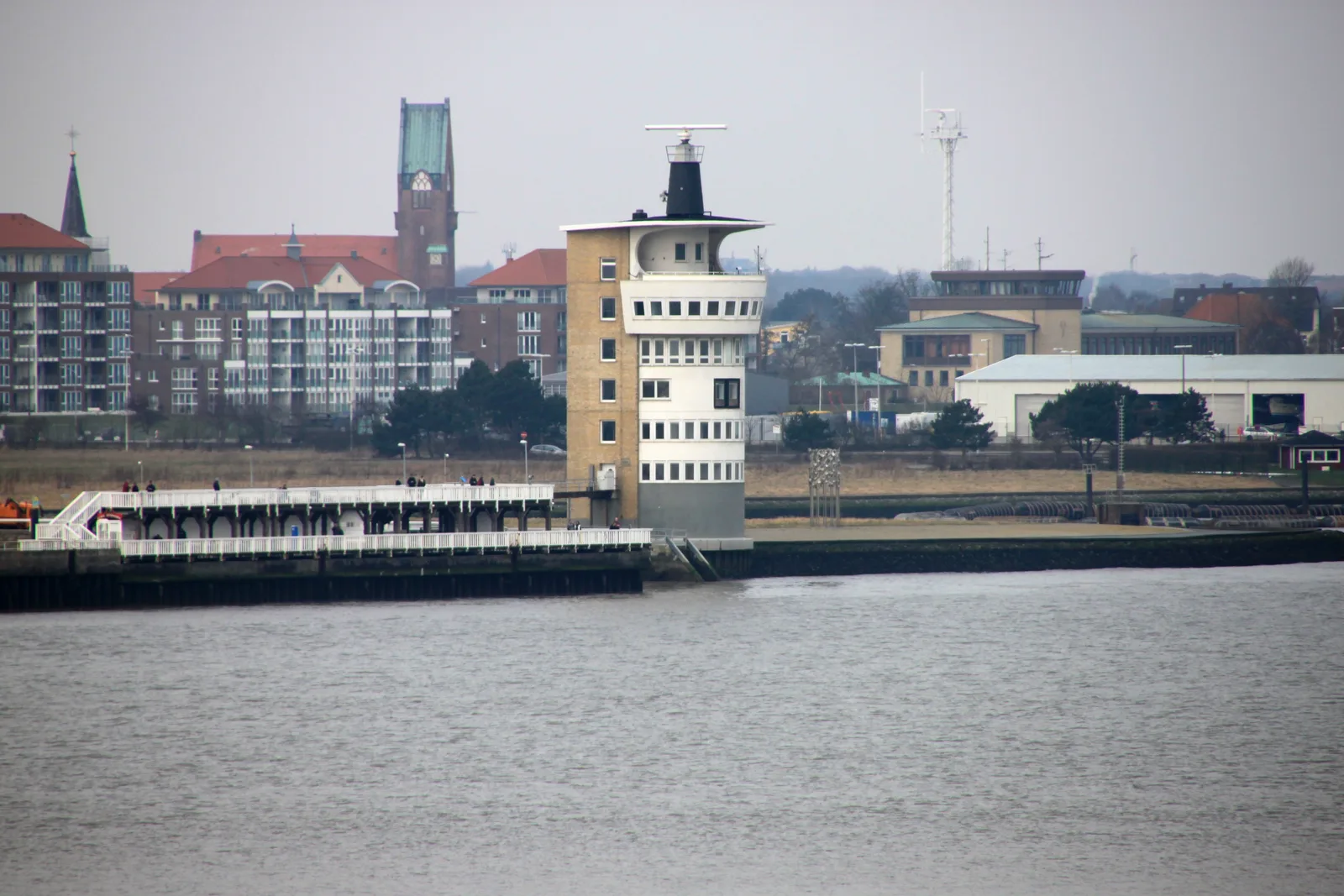
External attack distinguished from a vessel misrepresenting its own position — a fault, an attack, or a deception, named.

An independent position check drawn from signals already in the environment, for when satellite navigation cannot be trusted.
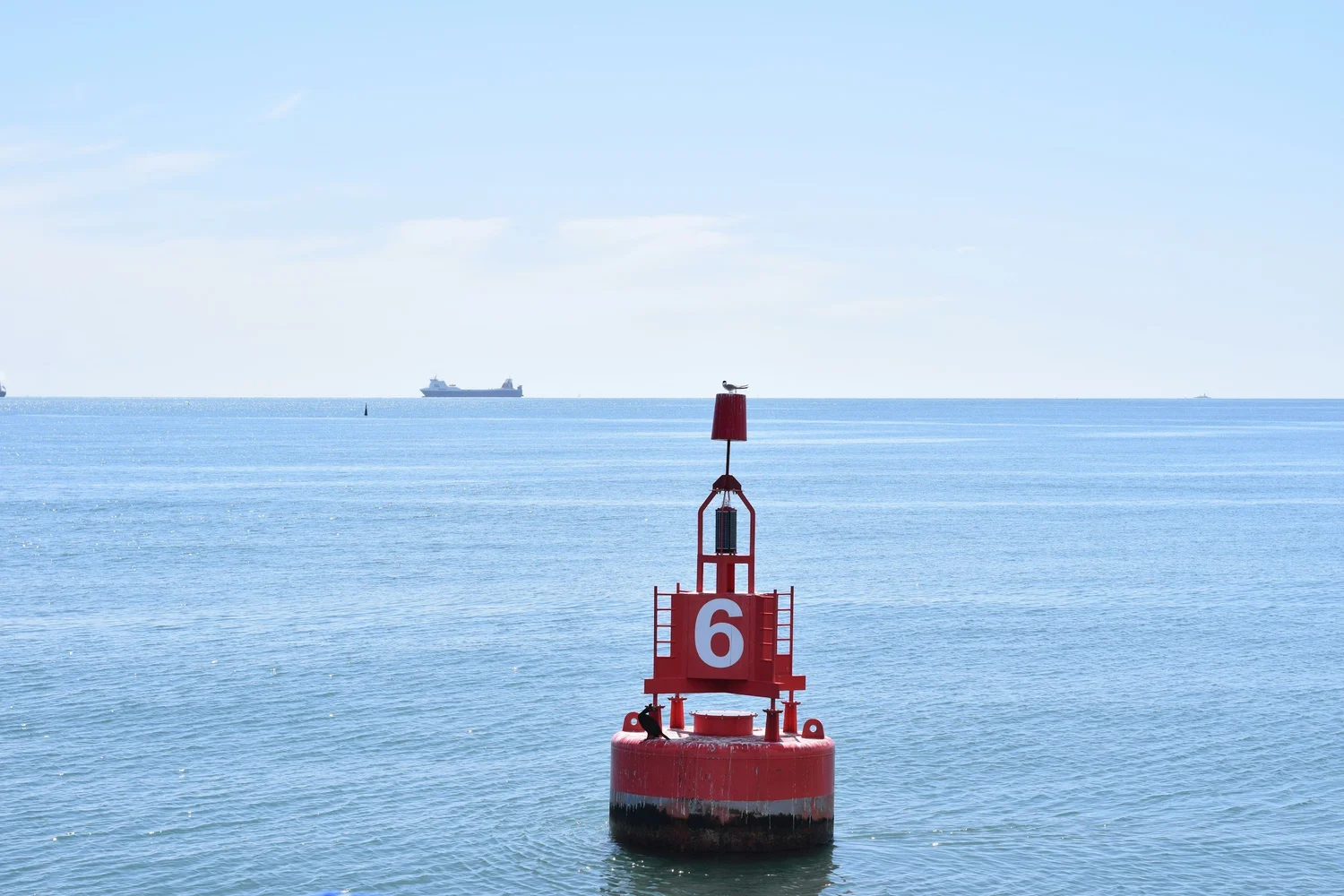
Persistent monitoring of the electromagnetic environment around ports, anchorages, and offshore operations — including drone control links.
Jamming and spoofing detected as they begin and traced to a source, across ports, anchorages, and straits.
Coastal radar photograph: Eduard47, Wikimedia Commons — CC BY-SA 4.0